OH! You know what I forgot!? I forgot the Burmis Tree!! About 10 kms east of Frank Slide is this old dead tree, that looks like a giant Bonsai tree! When I first saw it, I didn’t know it was famous, but I still pulled over on the side of the road to take a picture. (It is said to be the most photographed tree in Canada, and perhaps the world!)
The Burmis Tree is estimated to be between 300-700 years old, and died in (or around) 19
It fell over in the wind (it is SUPER windy in the Crowsnest Pass) in 1998, but it is such an iconic site there, the locals propped it back up. Then, apparently some stupid loser vandals cut off a branch – SERIOUSLY? what is WRONG with people!!? – in 2004. However, once again, it was put back together.
It’s a beautiful tree, even dead! (http://www.crowsnestheritage.ca/attractions/burmis-tree/)
About…20 minutes West of the Crowsnest Pass (see blog February 3, 2013), over the GREAT Continental Divide and down the other side, is Elk Valley. Technically, Elk Valley is made up of Elkford, Elko, Fernie, Hosmer, Morrissey, and Sparwood. I can’t actually figure out where Morrissey is, so I’m not sure it actually exists anymore.
However, on our road trip to Hungry Horse, we drove through the other three of the other four towns, (all but Elkford).
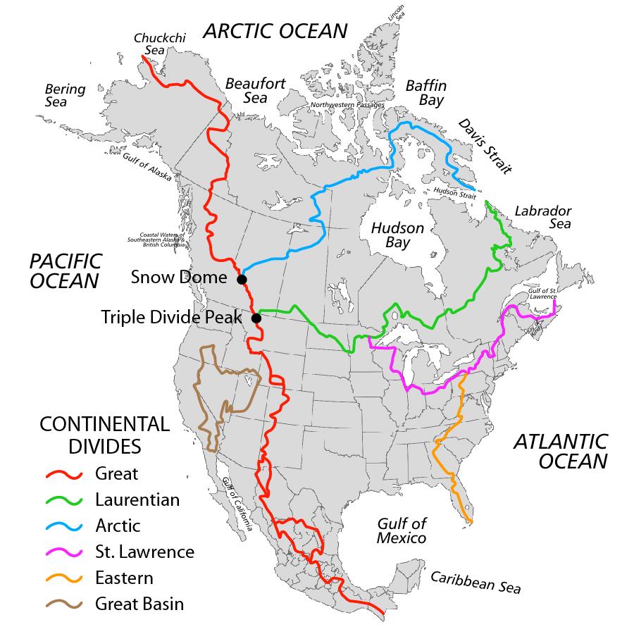
 The first town after the Continental Divide (see blog February 6, 2013) is Sparwood. (From there, you can either go west-north to Elkford, or south, to Fernie.)
 Sparwood, British Columbia, is a coal mining town, and is right on the highway. You’ll recognize it because it’s the home to one of the World’s Largest Truck – the 1974 Terex 33-19 Titan. You can’t miss it!! It’s 350 tonnes, and 66 feet (2o meters) long. It’s almost 25 feet (7.57 meters) wide, and about 22 1/2 feet (6.88 meters) high with the box down.
Apparently, two Greyhound buses and 2 pickup trucks can fit in the box, at the same time! (In this picture of the full truck, you can just barely see me – I’m sitting in the wheel, and Peter’s standing beside me…and in the close-up picture, you can see Peter and a friend standing underneath the truck.)
 Apparently, the Titan was the only 33-19 Titan ever made, and was made in 1973, specifically to be used for coal mining in Sparwood. Technically, it was supposed to be just the first one, but because of the economy, the industry had to use smaller vehicles instead.
As you drive through the area, you can see evidence of the coal mining – the mountains have been carved and mined, and are starting to grow grass again. That’s just from the road. You’d have to drive back towards the Mines to see more.
AND, you can actually take tours of the Mines, too. (http://sparwood.ca/visitors/activities/mine-tours)
http://www.trucktrend.com/features/consumer/163_0704_worlds_largest_truck_liebherr/viewall.html#ixzz2K4LC3gKX
http://sparwood.ca/visitors/history
http://sparwood.ca/visitors/history
 Between Sparwood and Fernie, is Hosmer. Hosmer was established as a train station for CP Railway, in 1906. But, what I always think about when I’m in the area, is Hosmer Mountain.
From the front (from Fernie), Hosmer Mountain looks just like a St. Bernhard dog. (Similar to Turtle Mountain, the older parts of the mountain are at the top and the younger parts are at the bottom…I have to research that more, I think…)
In the evening, on sunny days, though, the “Ghost Rider” legend appears – it’s a shadow on the face of the mountain that looks like the shadow of a horse and rider, with someone on foot beside them, going up the hill.
http://www.ourfernie.com/the_ghostrider_0 explains that it’s ”an angry Indian Chief and his jilted daughter pursuing William Fernie… that William Fernie was courting an Indian Princess to learn the source of her sacred black stone necklace…that after learning the secret location of the Morrissey Coal Seams” Fernie dumped the Princess. (There’s more about curses and luck, but I don’t really want to get into that.)

I heard the story slightly differently – tragic, and similar, but without the curses and luck… just a sad daughter and her daddy who loves her and comes to bring her home. (I’m sure the official site is the legend, but I really like my version.)
Anyway, check out the shadow! You will see it!
15 minutes south is Fernie.
Fernie’s claim-to-fame is, of course, Fernie Alpine Resort. (http://www.skifernie.com/)

Once upon a time, I lived in Fernie, and all I can really remember now is: they have the best snow bowl, for powder, and the Griz Inn (to which you can ski or board coming down the Mountain) had the best Long Island Ice Tea. (That being said… the first time I had the Long Island Ice Tea, I thought it was actually ice tea…I didn’t know there was alcohol in it
(http://www.drinksmixer.com/drinkrq17701.html)
…now that I know better, I have to give the trophy for the Best-Ever Long Island Ice Tea to our friend, Calvin.)
(http://www.drinksmixer.com/drinkrq17701.html)
…now that I know better, I have to give the trophy for the Best-Ever Long Island Ice Tea to our friend, Calvin.)
At the time, my roommate was an expert (and completely fanatical) skier. She would spend all summer preparing her core for winter. She was a Double Black Diamond girl. I was more of a … Blue Square…girl. Ronda thought her day was successful if she was in the air more than on the snow, and I thought it was a successful day if I made it all the way to the bottom of the hill without falling. http://www.wispresort.com/wisp/info/w.beginners-trail-symbols.aspx
(Incidentally, I met Peter in Fernie, while he was on a ski trip  )
)
)
Leaving Fernie, you get to go through a tunnel – it’s a short tunnel, but I do love it. It means that you have 3o approximate minutes before you get to the US/Canada border. Watch for the Mountain Sheep just on the other side of the Tunnel!


Saturday – Eureka, Montana!


Saturday – Eureka, Montana!